London Aerial Virtual Tour on Google Earth
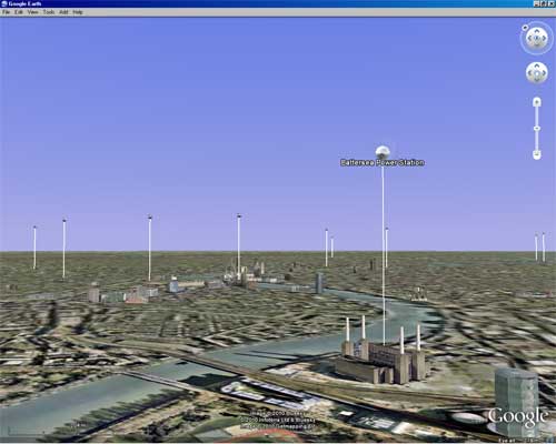
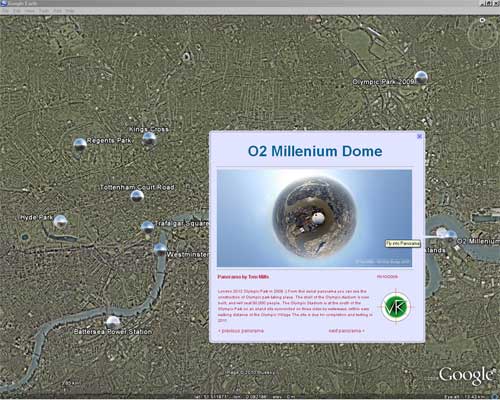
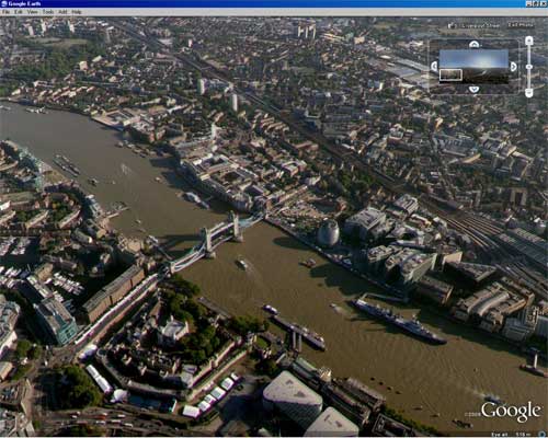
Now you can view the London aerial virtual tour on Google Earth. Simply click the link below to download our KML file which you can then click to open with Google Earth (if you have it :).
The panoramas are represented by spheres that you can fly into. This was made possible thanks to Digital Urban (CASA – center of advanced spatial analysis) at University college London, that developed a photo overlay creator for easy display of panoramas on Google Earth. You can read Andy Hudson Smith’s brilliant tutorial of how to create photo overlays on Google Earth here
Many thanks go to Richard Milton at CASA for writing the code and developing this great idea.
Now featured in the Google Earth gallery


